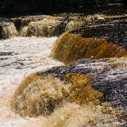
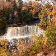
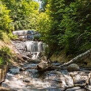
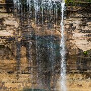
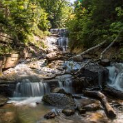
7 Sable Falls is a waterfall located on Sable Creek in the eastern-most portion of the Pictured Rocks National Lakeshore in Alger County, Michigan. The falls tumbles 75 feet over Munising and Jacobsville sandstone formations. The waterfall is approximately one-half mile from Lake Superior.

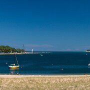
8 The Grand Island East Channel Light is a lighthouse located just north of Munising, Michigan (latitude 46° 27.010' longitude -86° 37.345') and was intended to lead boats from Lake Superior through the channel east of Grand Island into the Munising Harbor. Constructed of wood, the light first opened for service in 1868.

12 Cut River Bridge is a cantilevered steel deck bridge over the Cut River in the Upper Peninsula of the U.S. state of Michigan. It is located along U.S. Highway 2 (US 2) in Hendricks Township, Mackinac County, between Epoufette and Brevort, about 25 miles (40 km) northwest of St. Ignace and the Straits of Mackinac. There is a long but not often traversed wooden staircase to the valley below that was constructed some time after the construction of the bridge itself.

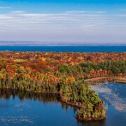
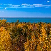
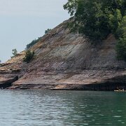
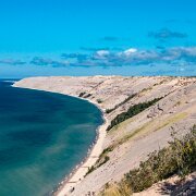
13 Pictured Rocks National Lakeshore is a U.S. National Lakeshore on the shore of Lake Superior in the Upper Peninsula of Michigan, United States. It extends for 42 miles (67 km) along the shore and covers 73,236 acres (114 sq mi; 296 km2).

14 Eagle Harbor Light is a lighthouse near Eagle Harbor Township, Michigan on the Keewenaw Peninsula jutting from the Michigan's Upper Peninsula up into Lake Superior. This area of Michigan is often referred to as Copper Country, and sometimes as Copper Island. That industry helped create interest in the harbor.
Upper Peninsula